
Modelling mines: how can a new 3D modelling platform make mining more sustainable and be part of the solution to climate change?
Futurum
MARCH 14, 2023
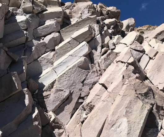
These data are collected from surveys of the surface geology and drill holes, which allow geologists to build a picture of the subsurface rock. They produce samples that reveal how an orebody is layered (its stratigraphy) and other aspects of its lithology and physical characteristics. What is Loop? How does Loop work?


Let's personalize your content