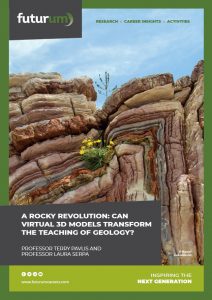
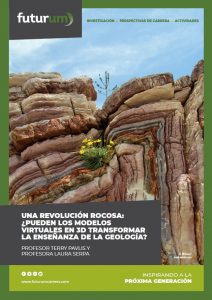
A rocky revolution: Can virtual 3D models transform the teaching of geology?
Fieldwork has long been a mainstay of geology education, but it is not everyone’s cup of tea. Not all students want to participate in fieldwork when it means being outdoors in all weathers, while others cannot participate due to disabilities, financial hardship or lack of opportunities. Professors Terry Pavlis and Laura Serpa, from the University of Texas at El Paso, USA, are creating virtual 3D models to make the benefits of geology fieldwork accessible to everyone.
TALK LIKE A GEOLOGIST
Contour — a line on a map joining points of equal elevation
Fieldwork — the process of observing and collecting data from the ‘field’ (i.e., not in a classroom)
Geological features — physical features of the Earth (e.g., cliffs, valleys, faults) formed by the movements of rock and other geological processes
Photogrammetry — creating digital 3D models from 2D photos
Virtual 3D model — a three-dimensional representation of a feature that can be explored on a computer
Stood in the pouring rain, wearing a not-so-waterproof raincoat, your numb fingers try their best to sketch the rocky cliff your teacher is pointing at. It is hard to concentrate because your friend will not stop going on about the dead squirrel they saw when they got off the bus. You are about to label a layer of sandstone when a gust of wind blows your notebook out of your hand and into a puddle. This trip is not going as you had hoped.
Not all geology trips are this challenging. Fieldwork can be an exciting and enjoyable experience. Spending time outdoors, exploring beautiful landscapes and investigating complex rock formations is often what draws people to the subject of geology.
But fieldwork is not for everyone. And taking students to unfamiliar outdoor settings is not always a productive way of teaching. The physical exercise and numerous distractions commonly cause students to tune out from the lesson. They may be more interested in chatting with friends or worrying about other issues, such as ‘Where are the bathrooms?’, ‘How can I charge my phone?’ or ‘When’s lunch?’
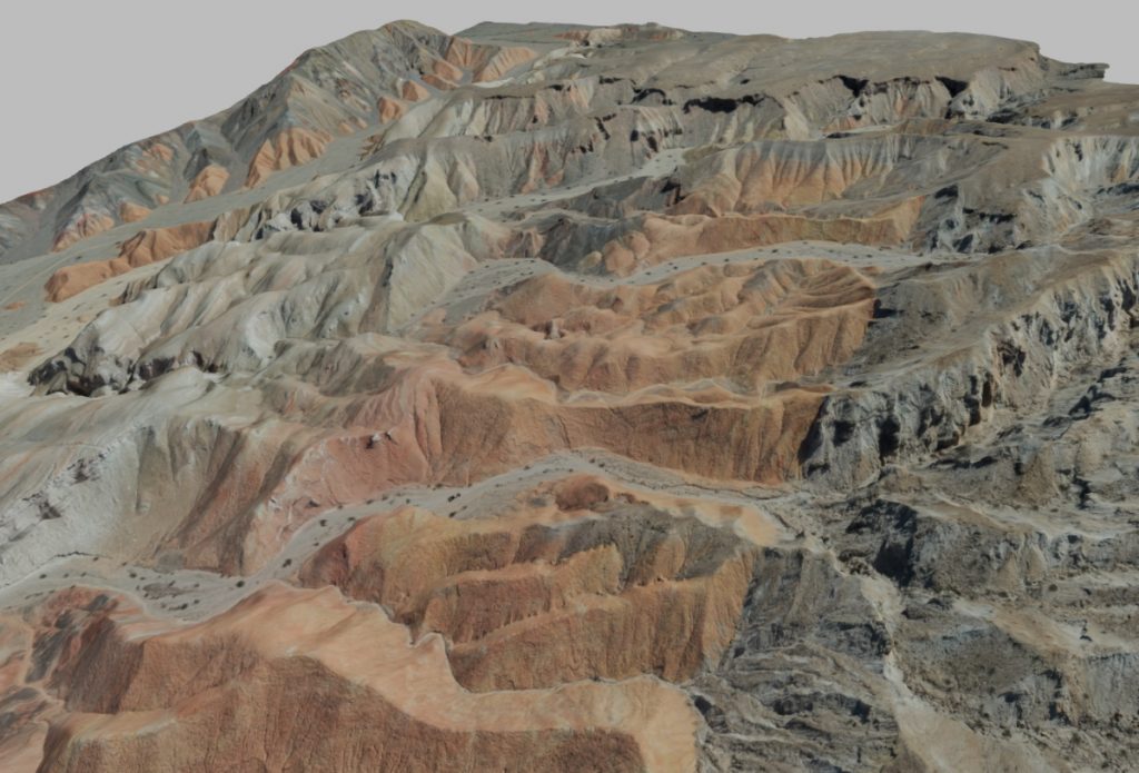
At the University of Texas at El Paso, Professor Terry Pavlis and Professor Laura Serpa have devised a new geology teaching technique that may prove more effective. They are creating virtual 3D models of geological locations that students can explore from the comfort of their classrooms.
Creating 3D models
You can create a virtual 3D model of anything, from a rocky cliff face to your own hand, if you take enough overlapping 2D photos of the object and input them into a photogrammetry software package. “The software moves the photographs around, much like you might move a mirror to see different sides of your face, then stores them in their 3D position,” explains Laura. The software then stiches these orientated 2D images together to generate a 3D model of the object.
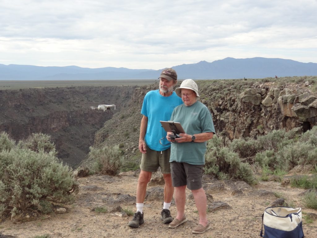
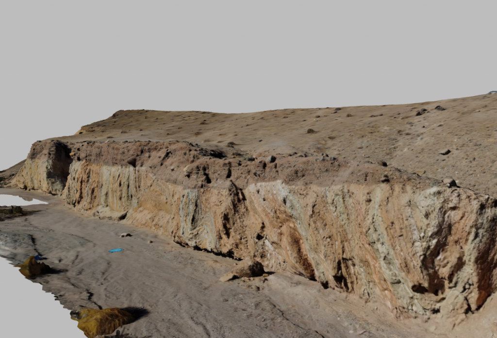
Laura and Terry photograph the geological features they want to model, usually by flying a drone over the landscape. The photos must overlap so the software can combine them and must be of high resolution. “If it is not clear on the photographs, it will not show up on the model,” says Terry. Once stitched together, the 3D model can be viewed and manipulated, allowing anyone with a computer to explore the geology of the landscape.
What advantages do 3D models have over 2D teaching resources?
Geology concepts are commonly taught in the classroom using 2D maps and diagrams, which many students struggle to visualise in 3D. For example, students unfamiliar with reading contours may find it difficult to view 2D maps as 3D landscapes. Virtual 3D models can improve the classroom learning experience by removing this hurdle and providing students with 3D representations of geological features.
In addition, 2D representations, such as photos in textbooks, only provide limited information about the 3D geological characteristics of the feature, and they cannot be used to take certain measurements that are critical for geological learning. Normally, geology teachers must take students on field trips to teach these skills, but Terry and Laura’s 3D models provide a classroom-based alternative.
What advantages do 3D models have over field trips?
Virtual 3D models provide a weather-proof, distraction-free alternative to field trips. “We have spent many years teaching at a university where visiting field sites is difficult,” says Terry. As a result, 3D models play a significant role in their classes, in which students explore virtual field sites on computers. Similar to a ‘real’ field trip, students on a virtual field trip can make measurements of geological features and interpret their observations to suggest what geological processes may have formed them.
Virtual models make geology accessible to students who cannot participate in fieldwork (for geographical or financial reasons, or due to mobility issues) and who do not want to participate in fieldwork. “It is important to stress that anyone can become a geologist, regardless of their ability or desire to hike outdoors in all weathers,” emphasises Laura. “People with disabilities should feel they are just as qualified to become a geologist as anyone else.”
“3D models bring the field to the individual,” says Terry. “Any geoscientist can therefore study field geology, a potentially transformative change.” Terry and Laura hope 3D models and virtual field trips will open the geosciences to a wider range of students.
3D models in action
Laura and Terry are developing classes where students explore a variety of 3D models, describe and measure the features they see, and make interpretations about how these features formed. If possible, students can then be taken to the field site. Having already developed an understanding of the geology by examining 3D models in the classroom, students will gain more from the experience of fieldwork than if they were taken to an unfamiliar location.
Feedback on these classes has been extremely positive so far, with students reporting that they loved the experience. This technique is especially effective compared to traditional teaching methods, as it creates a far richer classroom learning environment. “We believe the development of 3D models will ultimately transform fieldwork into a hybrid of real and virtual field experiences,” says Laura.
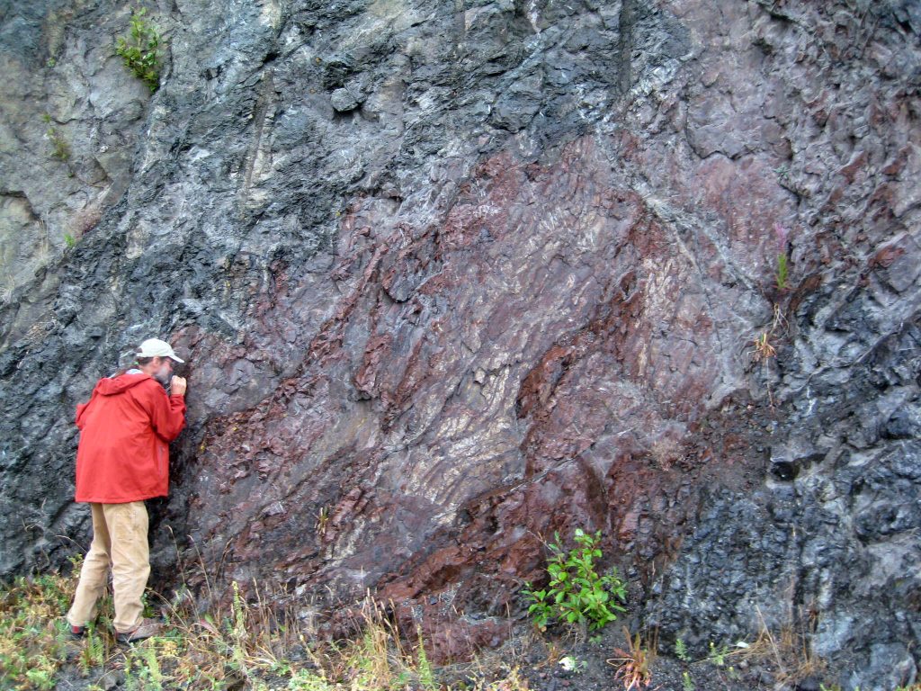
These 3D models will revolutionise the field for seasoned geologists as well as for students. For example, cliffs are both a geologist’s dream and nightmare. While vegetated landscapes hide the underlying geology, cliff faces expose rocks. However, cliffs are usually inaccessible and, as vertical features, are virtually invisible on 2D maps (a cliff is represented by a line). So, although cliffs contain a wealth of geological data, it can be hard to access and record this information. “3D models change all that,” says Terry. Drones can capture images of inaccessible cliff faces, then geologists can measure and map features directly on the 3D model.
Geology is for everyone
“There are too few students studying geology today,” Laura laments, “and too many non-geologists who do not even think of geology as a science.” In fact, geology is critical to global well-being. Underpinned by scientific skills such as making observations and testing hypotheses, geology is the science of understanding the world around us.
Knowledge of climate changes in the geological past is critical for addressing the current climate crisis. Geology is the fundamental science behind mining, necessary for extracting the resources required to transition to clean energy. Before any building is constructed, a geologist must assess the underlying rock to ensure the foundations will be stable.
By making geology accessible for everyone, Laura and Terry hope to show that it is not just a subject for those who love hiking. They hope to inspire more students to see geology as an opportunity to make a positive difference in the world.
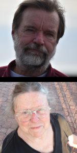 Professor Terry Pavlis
Field of Research: Structural Geology
Professor Laura Serpa
Field of research: Geophysics
University of Texas at El Paso, USA
Research project: Creating virtual 3D models of geological features to revolutionise the teaching of geology
Funder: US National Science Foundation (NSF)
Reference
https://doi.org/10.33424/FUTURUM329
Terry explains the teaching and research applications of 3D models
ABOUT GEOLOGY
Geology is the science of the Earth. As such, it is fundamental to understanding our planet’s past, present and future. Geologists are also essential for enabling society to function. There are many branches of geology, so you can specialise in whichever field most interests you.
By monitoring volcanoes, volcanologists try to predict when the next eruption will occur, thereby giving communities warning so they can evacuate before the danger occurs. Seismologists collaborate with engineers to design earthquake-proof buildings, and they study earthquakes to investigate the internal structure of the Earth. Palaeontologists examine fossils to uncover the mysteries of life and the species that roamed the Earth before humans evolved.
Some sedimentary geologists use their skills to locate reservoirs of fossil fuels to meet global energy needs, while others apply the same skills to find rocks that can store carbon dioxide and therefore mitigate the impacts of greenhouse gas emissions. Engineering geologists assess ground characteristics before any construction work occurs, to ensure buildings and roads will not collapse. All the metals used in technological devices must be mined from the Earth, and geologists are responsible for locating these resources. Hydrogeologists investigate the flow and quality of underground water, ensuring communities have access to safe drinking water.
“We are facing an uncertain future due to climate change, and geoscientists are uniquely qualified to take a leading role in long-term sustainability planning and mitigation of climate disasters,” says Terry. Studying geology will equip you with the skills and knowledge needed to address the many challenges faced by humanity. “Now is a good time to think about learning more about the Earth we live on, and the planets we may visit in the near future,” says Laura.
• Geology is not commonly taught as a subject at school, though some geology topics may be covered in geography and science classes.
• Study geography to learn both about the physical processes that occur on and within the Earth and about how these processes influence, and are influenced by, humans.
• Skills and knowledge from maths, physics, chemistry and computing will be useful when studying geology at university.
• At university, study geology or Earth science, or a related degree such as geophysics or physical geography.
Explore careers in geology
• The US Geological Survey has a wealth of resources for students and teachers, including lesson plans on a huge range of geological topics and citizen science projects you can get involved with: www.usgs.gov/youth-and-education-in-science
• The American Geosciences Institute provides information about careers in geoscience and resources for teachers: www.americangeosciences.org/education
• Get involved in Earth Science Week in October, or use their educational resources any time of year: www.earthsciweek.org/educational-resources
• Explore career pathways in geology with this interactive platform from The Geological Society: www.geolsoc.org.uk/geologycareerpathways
How did Terry become a structural geologist?
As an undergraduate, I enjoyed my structural geology class as I had a natural talent for 3D visualisation. I was inspired to become a structural geologist when I took a field geology class and realised I could combine my love of the outdoors with an academic pursuit in structure and tectonics. I was lucky to be a student at the time when the concept of plate tectonics was new.
Most of my career has focused on field-based studies in structural geology and tectonics. I love unravelling the complex structure of metamorphic rocks (think of beautiful granite-like kitchen countertops). These rocks carry one of the most complete archives of Earth history.
My other passion is the modernisation of field geology, which has spawned the present research Laura and I are working on. Twenty years ago, I was at a museum when I had an epiphany. There was a display showing ‘a geologist’s compass from the 19th century’ – it was exactly like the compass I used! This launched my passion for making digital geological mapping routine.
I love the joy of fieldwork, with its physical and mental challenges. I also love the challenge of unravelling the geological history of an area by studying rocks. It is this historical aspect of geology that makes it unique among the sciences, and it takes effort for novice geologists to grasp the immensity of geological time.
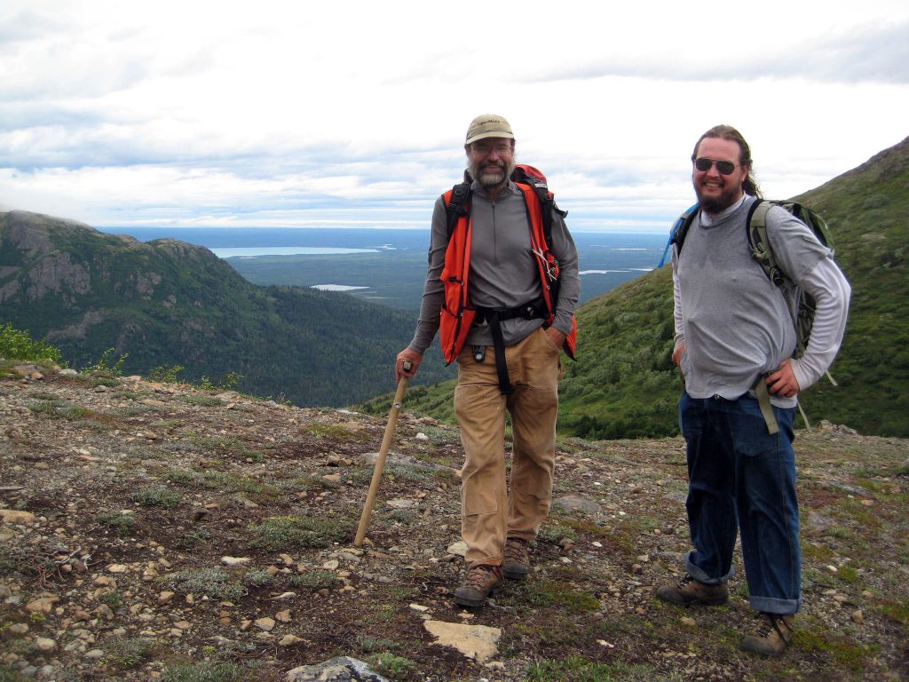
I could tell stories for hours about my memorable fieldwork experiences! I’ve spent a lot of time in the remote wilderness of Alaska where I’ve had more wild animal encounters than I could count. Although I have seen many bears, I have always been lucky and never had a serious encounter, unlike some of my colleagues (one had to kill a bear, and another spent a night watching a bear destroy her camp).
When not working, I love hiking, travelling and growing plants in our yard. I’m also an amateur woodworker and an occasional fisherman.
How did Laura become a geophysicist?
As a small child, I was always trying to dig holes to reach China from my home in the United States. I have always been interested in science and I was curious about what was down there.
I went to college when I was 18 years old but was kicked out. When I returned, ten years later, I took a geology class because a friend recommended it. After that, I was having so much fun that I forgot to quit going to classes until I finished my PhD and the university made me leave.
I enjoyed going outdoors and climbing around on mountains when I was a student, but I chose geophysics because I could drive a car to most of the places where I needed to collect data! I particularly loved searching through my data for new discoveries and I really enjoyed computers, which were relatively new when I was a student.
In general, my research involves mapping the inside of the Earth without digging holes. I use a variety of devices to measure changes in the Earth’s gravitational, magnetic, electromagnetic, thermal and seismic velocity fields. The variations in these fields indicate variations in the composition or activity occurring within the Earth. I build computer models of the Earth’s subsurface to determine what could cause these variations. I really enjoy working with computers and programming new methods to analyse data or get new information out of existing data.
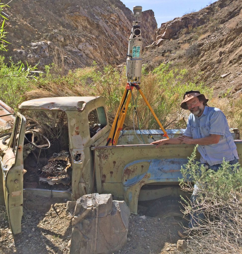
As a geophysicist, I have had some great fieldwork experiences. I was really scared, but in a good way, when I worked with Terry in Alaska. Looking back having survived the experience, it now seems exciting. And I loved hiking across Death Valley with all my equipment, taking measurements in such a beautiful place.
Terry and Laura’s top tips
1. Cultivate your critical thinking skills and curiosity. You need to be open to new ideas as geological understanding progresses.
2. Be ready to adapt to changes in the way you learn and acquire information, as new technologies will permeate all aspects of geoscience education and research.
Do you have a question for Terry and Laura?
Write it in the comments box below and Terry and Laura will get back to you. (Remember, researchers are very busy people, so you may have to wait a few days.)

